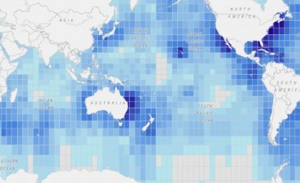
Scientists have launched an interactive global map to show the migratory patterns of more than 100 marine species in an effort to protect at-risk wildlife.
New models were developed by The University of Queensland and Duke University scientists to be part of the Migratory Connectivity in the Ocean (MiCO) database which aims to bridge information gaps for policymakers and conservationists.


